Tag Archives: easy’s voyage

San Antonio, Mulege, Punta Chivato

Still catching up on posts from June, 2017, when we were still making our way north, in the Sea of Cortez.  

⛵️⛵️⛵️Now, three boats deep, Easy, Kenta Anae and Shawnigan left from La Ramada around lunch time and sailed the not quite 10 miles to San Antonio. We were excited to go check out this a huge obsidian vein there.  26.521937, -111.450718 .

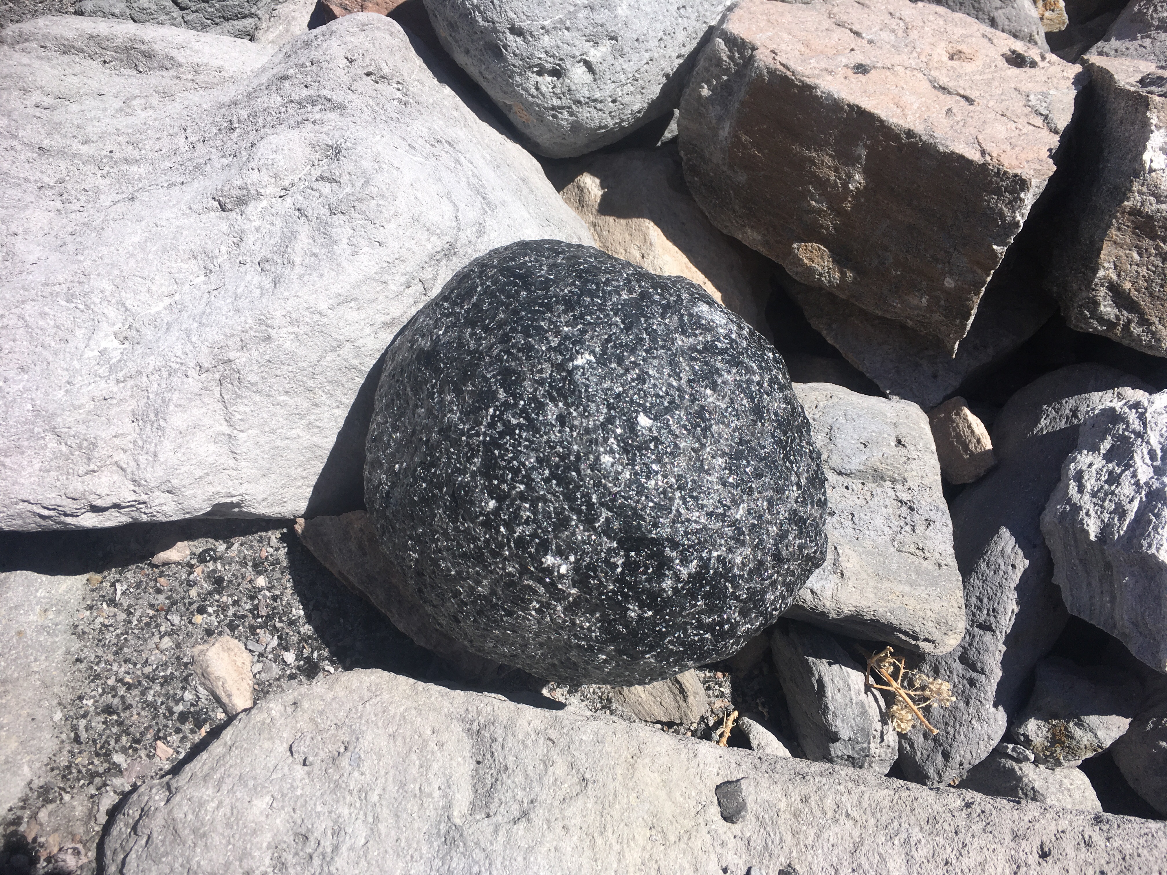
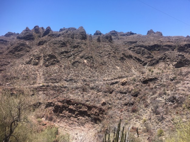
The south end of the point was too exposed to the prevailing wind, so we went around to the north side and set anchor at San Antonio (proper) 26.533917, -111.477790. We all met ashore, soon after anchoring, to get a hike in before evening set. Another perfect geology lesson for boat-school life.  Getting to the road was an adventure. We bushwhacked our way until we finally found the road/trail. Not so fun with all of the prickly brush and cactus to avoid.  Before climbing the peak, we first hit up the obsidian vein. Black, grainy and shiny at the same time, the vein looked like a petrified waterfall and surrounding us, looked like petrified water droplets that had misted to the ground at our feet.
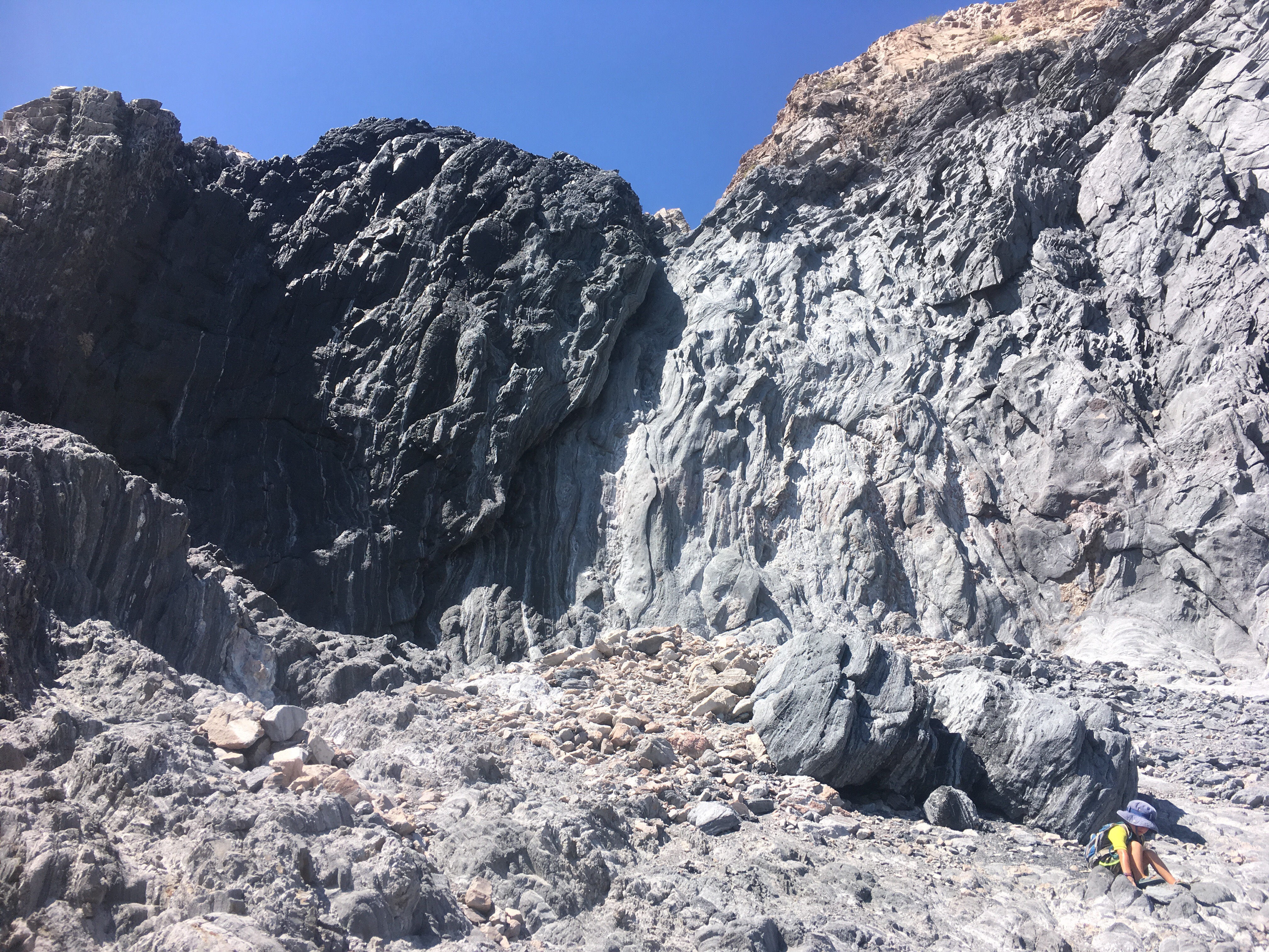
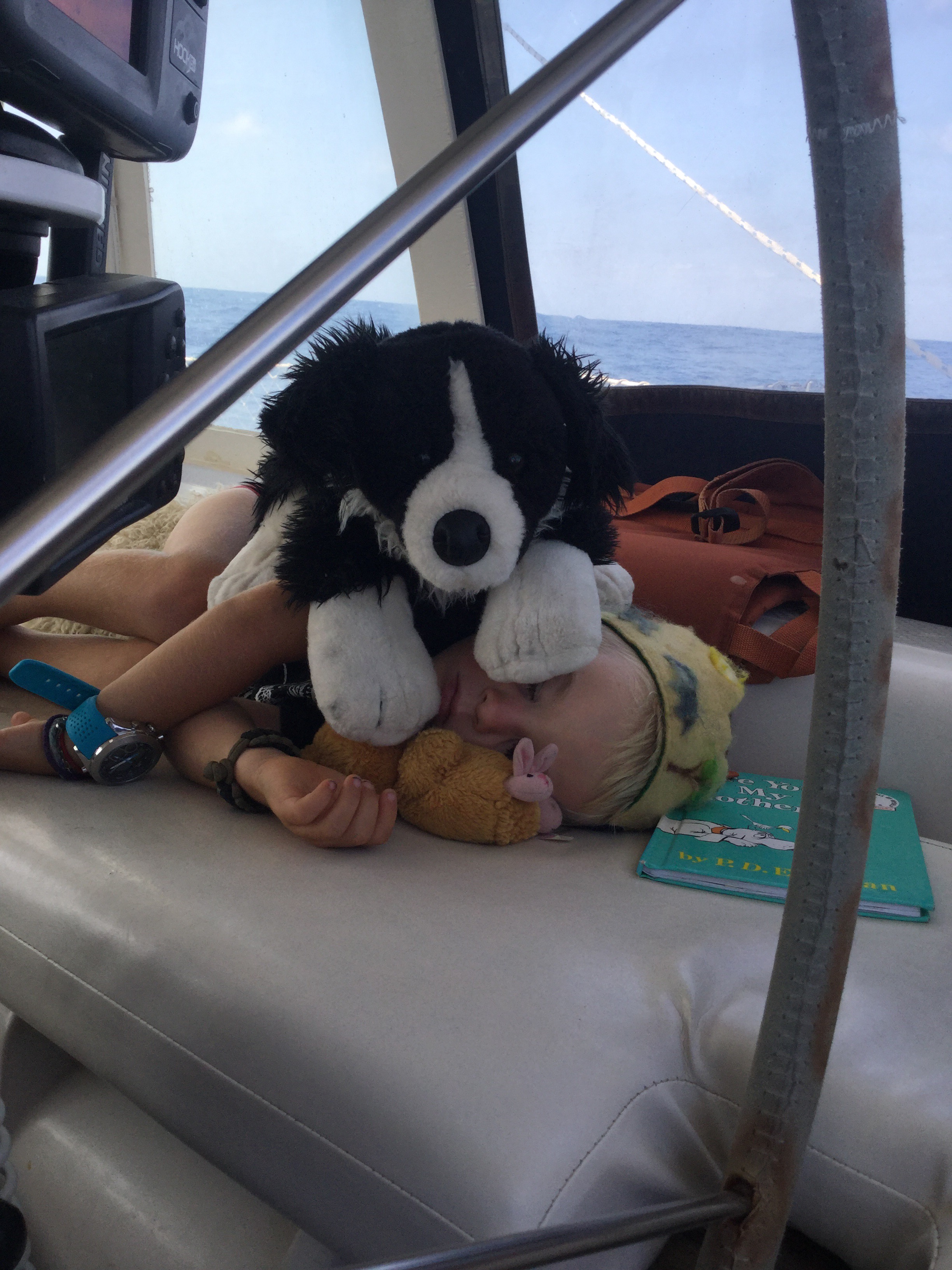
Taj, Matero, Shandro, Nina and Ellamae.

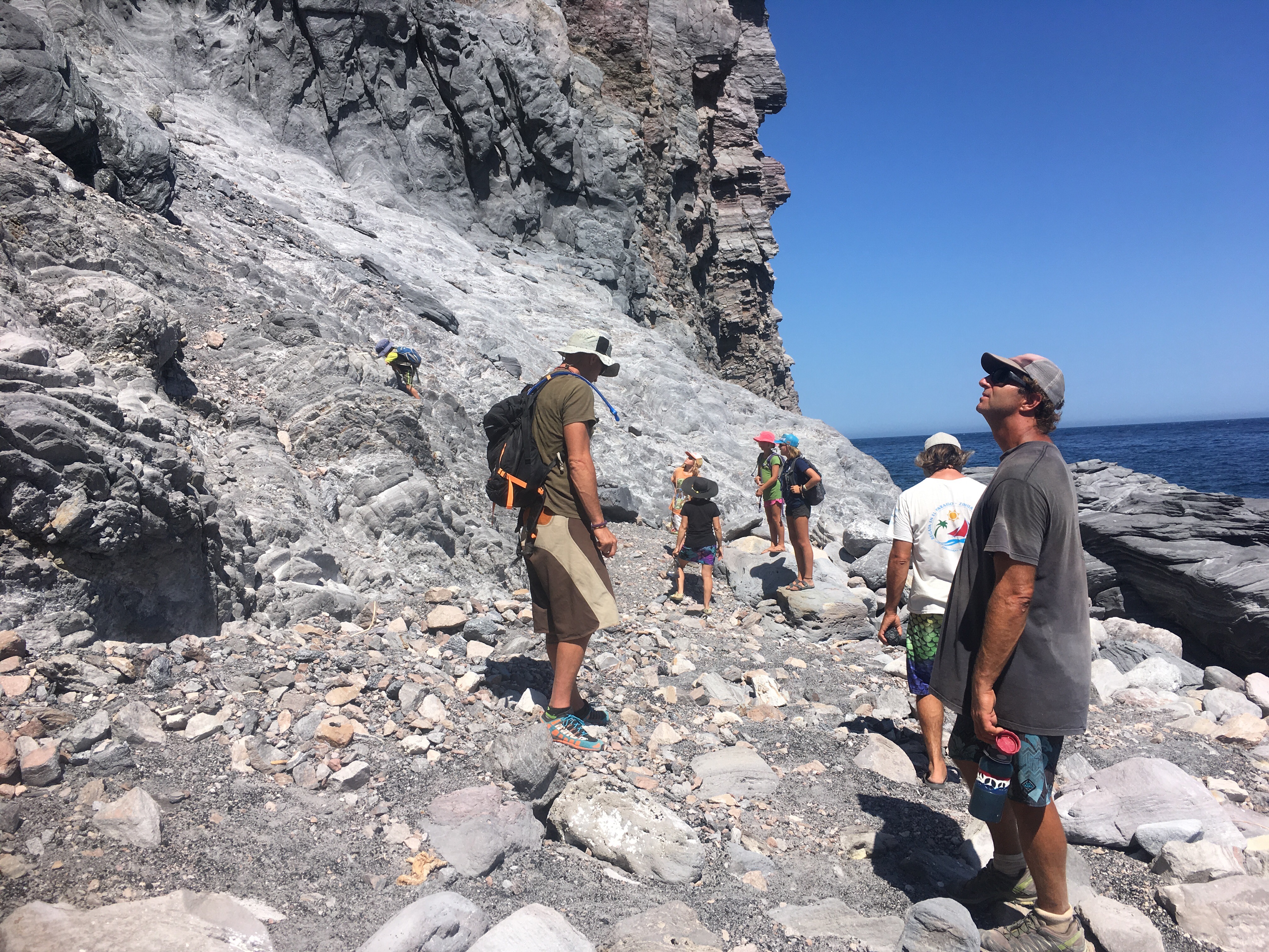
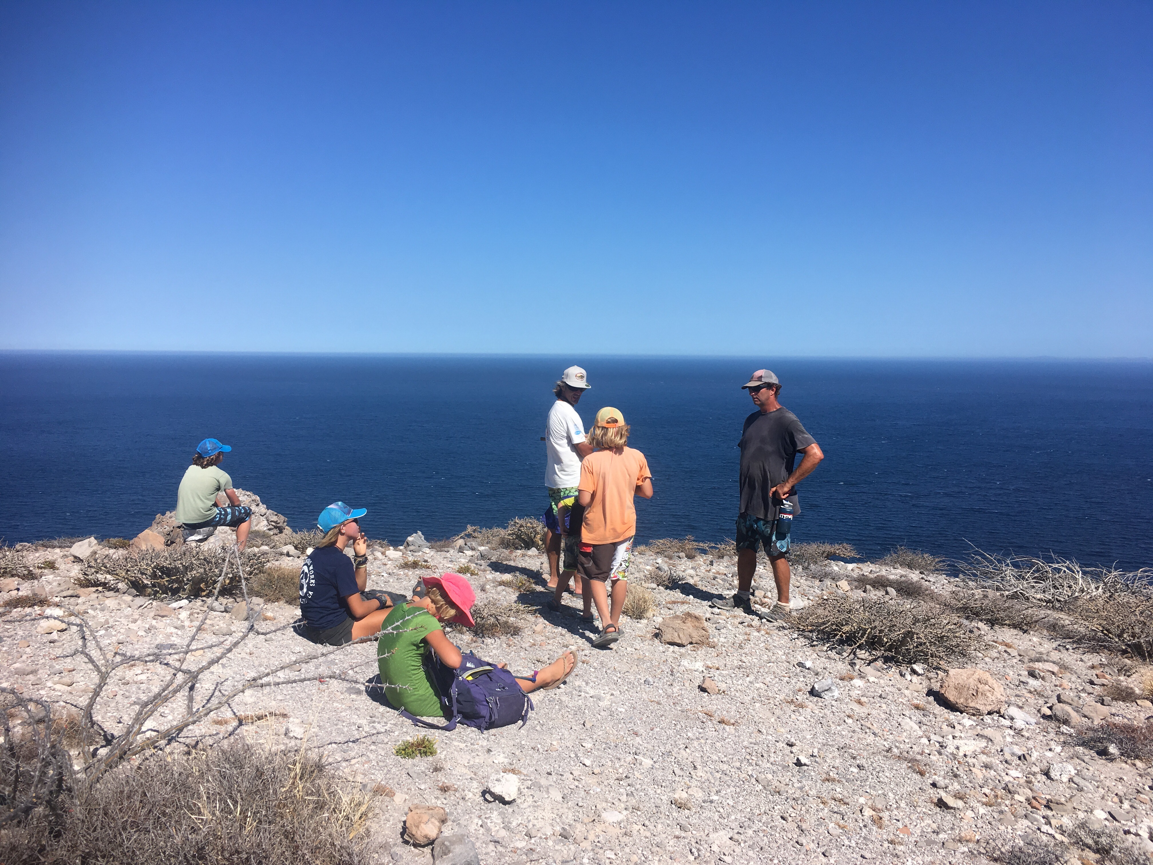
After a few minutes of exploring the obsidian vein, we made the trek up the steep hill to the top point. Taj hiked the whole way! I think he wanted to impress the Kenta Anae boys, or maybe he was just distracted. The view was fantastic, as always in the Sea of Cortez. We took time to soak it all in.
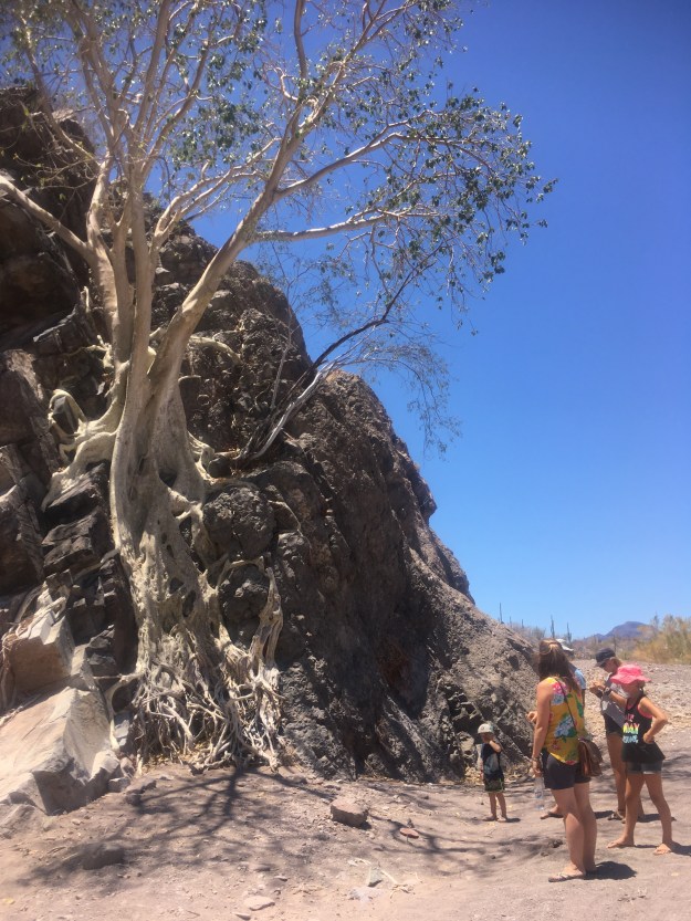
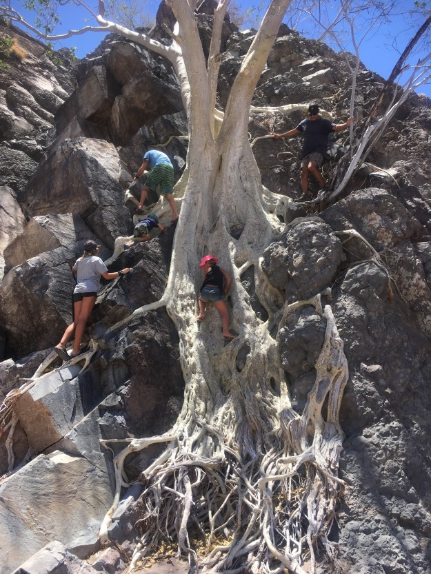
(I could resist groping this tree’s butt) 😬

The way back to the boat was more straightforward. We just followed the road that led to the beach, then walked the beach up to our dinghies.  
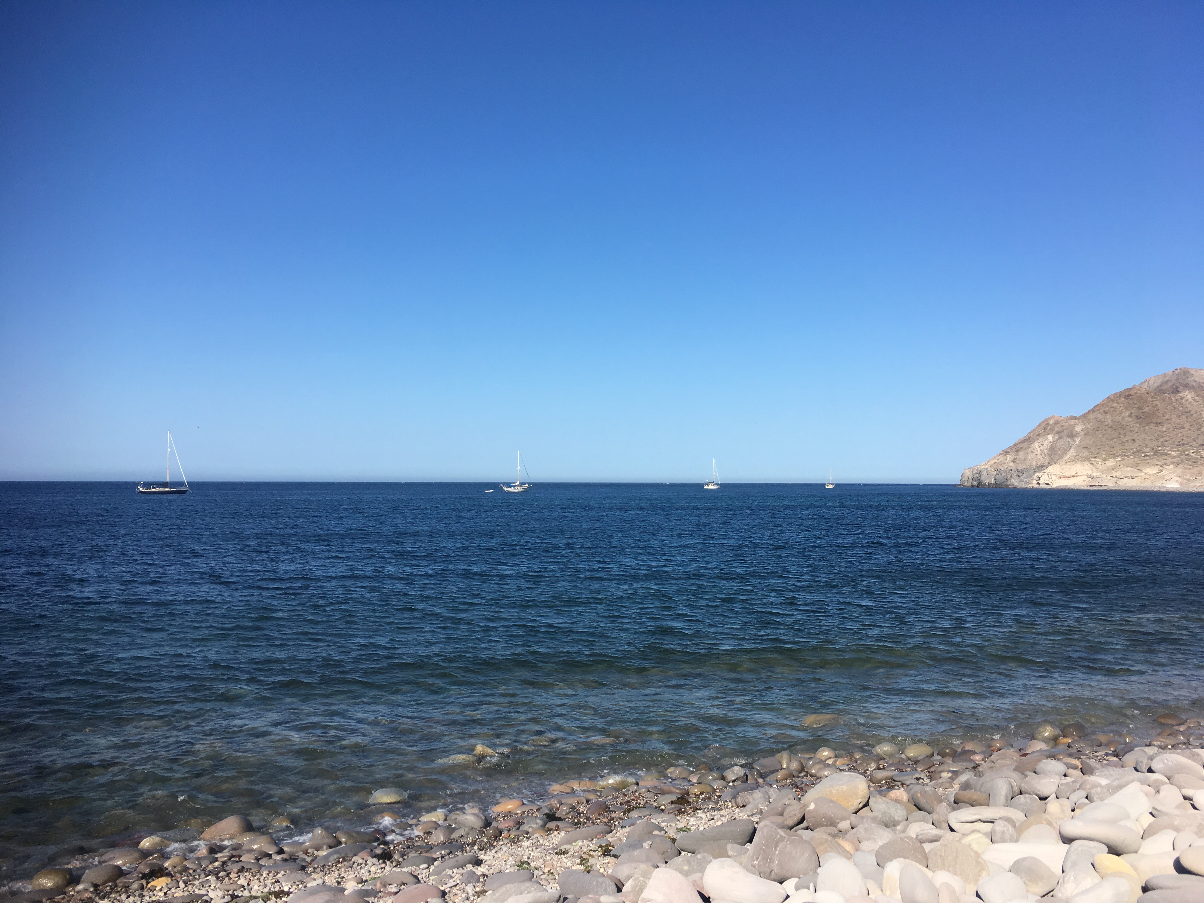
As we sat, before heading back to the boat, S/V Dad’s Dream (from Isla Corondo) showed up and anchored out beyond us.

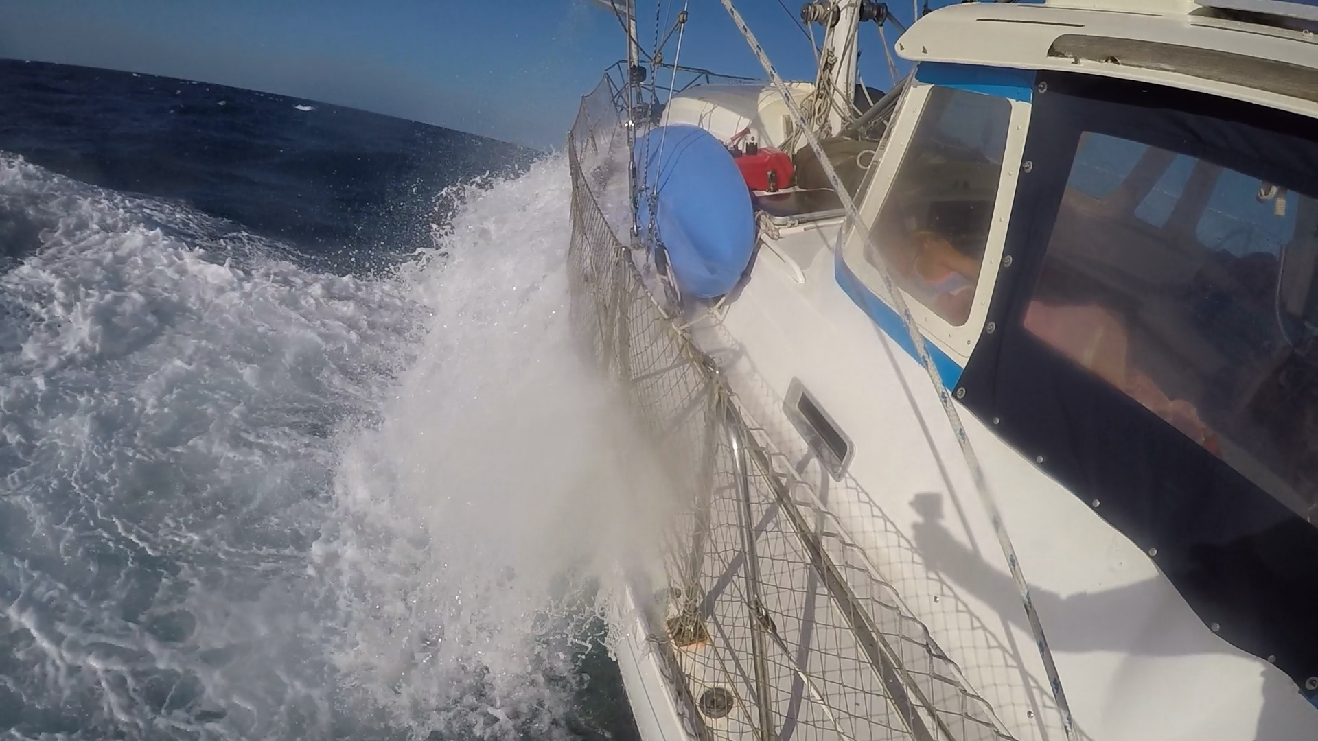
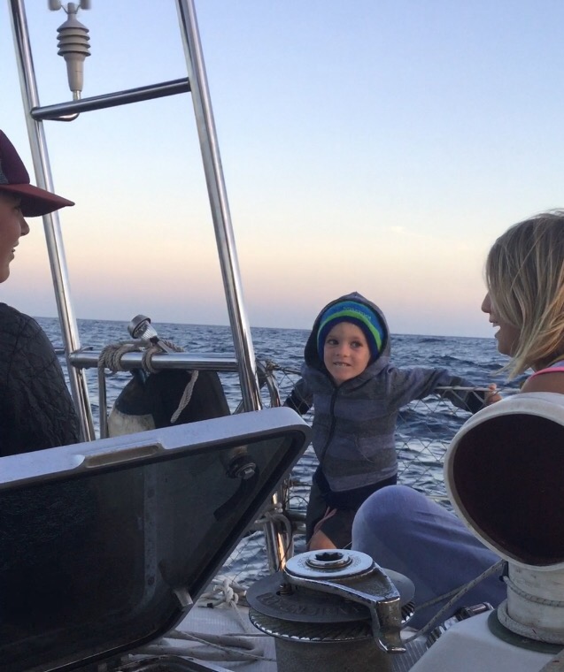
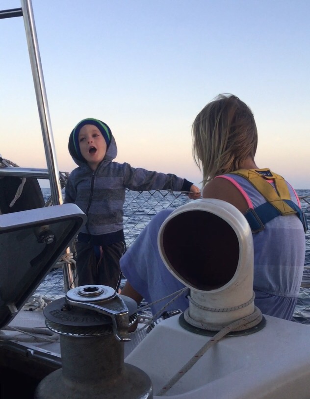
Not long after we got back to the boat and had dinner, the southerly swell started to wrap around and make its way into the anchorage. We had our flopper stopper out, as did Easy, but there was no comfort being found at this spot. We called Easy, Kenta Anae and Dad’s Dream and announced that we were pulling up anchor and heading up around the corner to San Nicolas, 26.868896, -111.848712. The stay there was just for an overnight before heading up and around to Bahia Conception. All four us us made the move to San Nicolas just after sunset, but before dark. The anchorage was much more comfortable than San Antonio and we were that much closer to our next stop, 26.870196, -111.846589 , about 30 miles away for another brief overnight sleep. The three of us sailed up together. Dad’s Dream stayed behind. The sail up and around was beautiful and uneventful. Kenta Anae kicked our butts (they are fast! There, I said it out loud, Merle!).

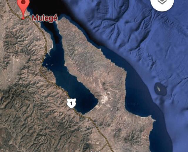
The next morning we motored an hour over to Mulege 26.906125, -111.954573 to go to shore and re-provision.  We anchored in about 15 feet of water on a “roadside” anchorage. Our time was limited, as we knew that the regular wind would be picking up around noon. We found a few tiendas (small grocery store) to stock up at, a park to play in, and an ice cream shop to treat the kids with. Ice Cream is ok at 10 in the morning when you’ve walked 2 miles to get to town, it’s hot, and the last time you had it was in La Paz, right?!

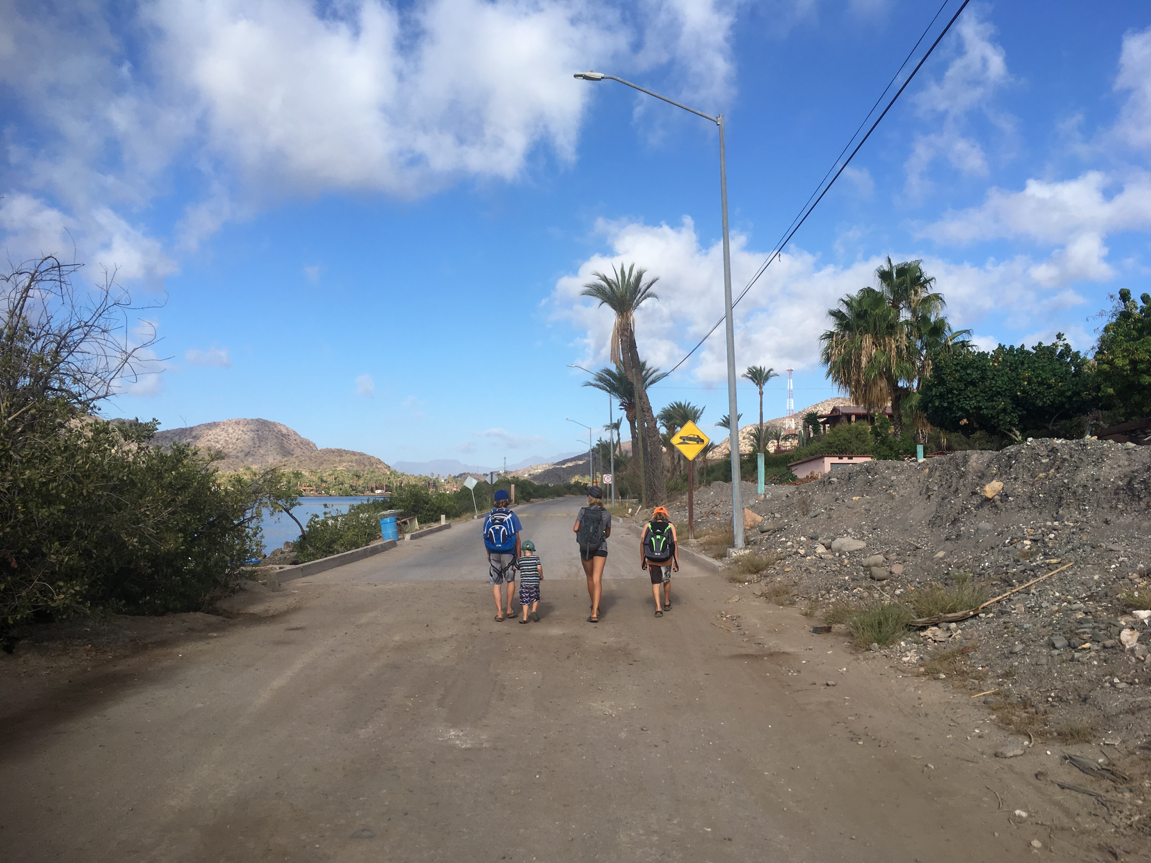
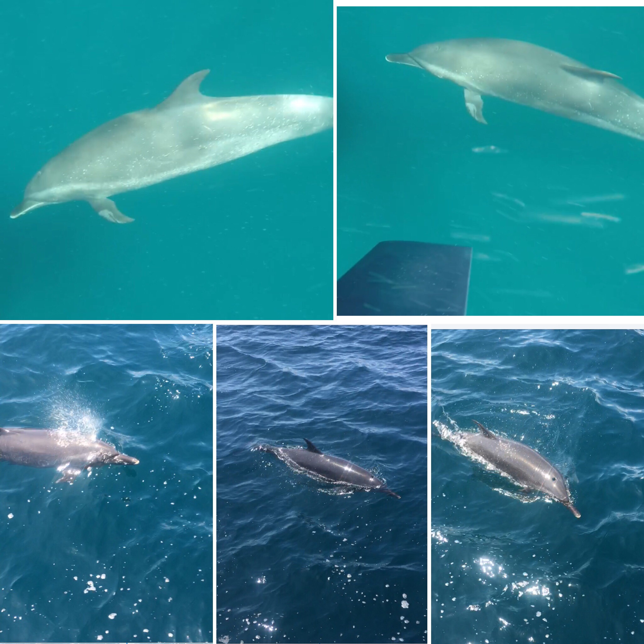
We made it back to the boats just before noon and sure enough, the wind was starting to pick up. We were able to sail off the hook and head due north toward Punta Chivato 27.066717, -111.962607 . Once anchored in front of the lovely Punta Chivato, I had time to swim and the kids, relax, before heading into shore to explore. As Kenta Anae was anchoring they saw a whale shark, but we were not able to see it. I was hoping when I was swimming that I would see it, but all I saw was barely my fingertips 2.5 feet in front of me. The visibility was terrible and the water was not that warm. Warmer than Isla Coronado and La Ramada, but still pretty chilly.

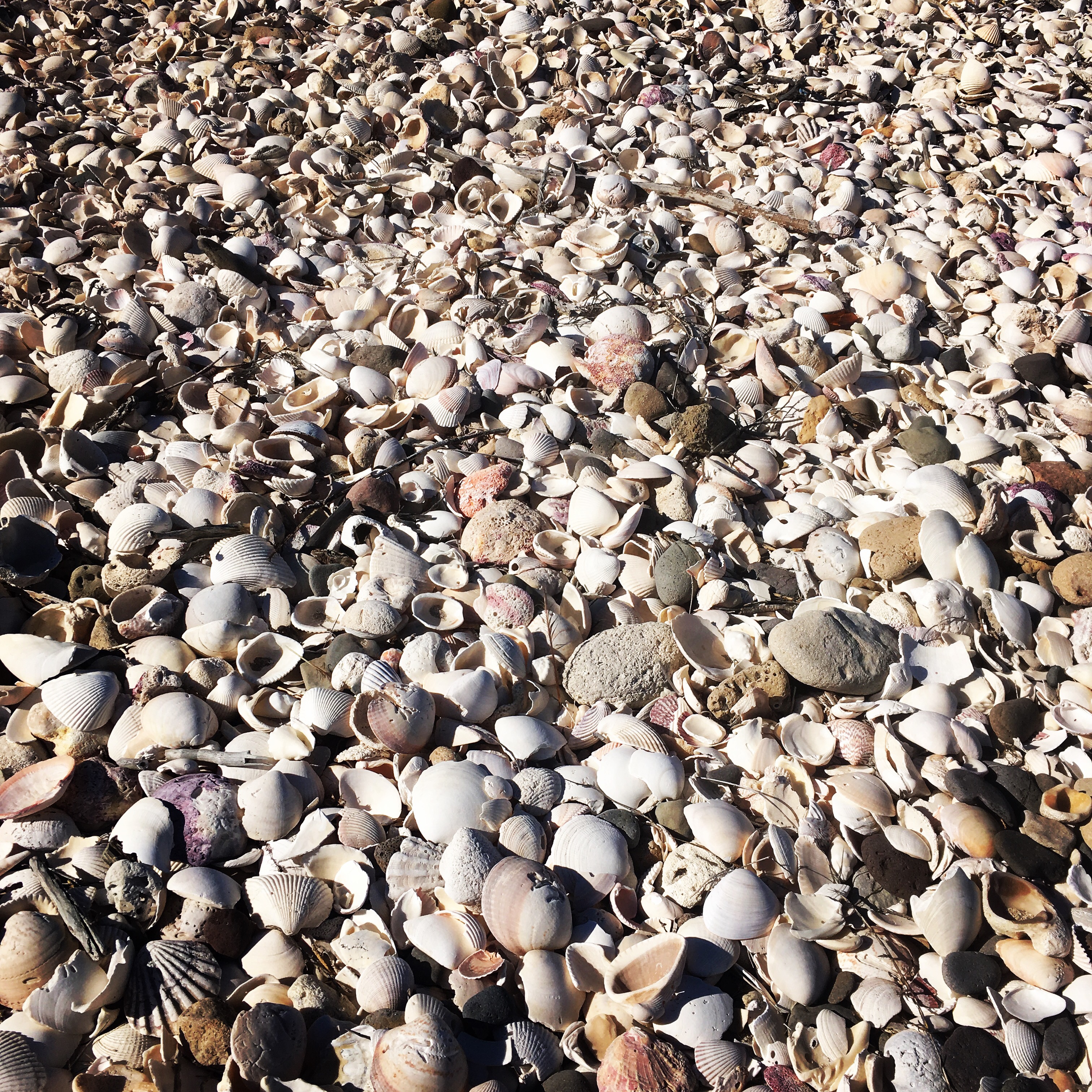
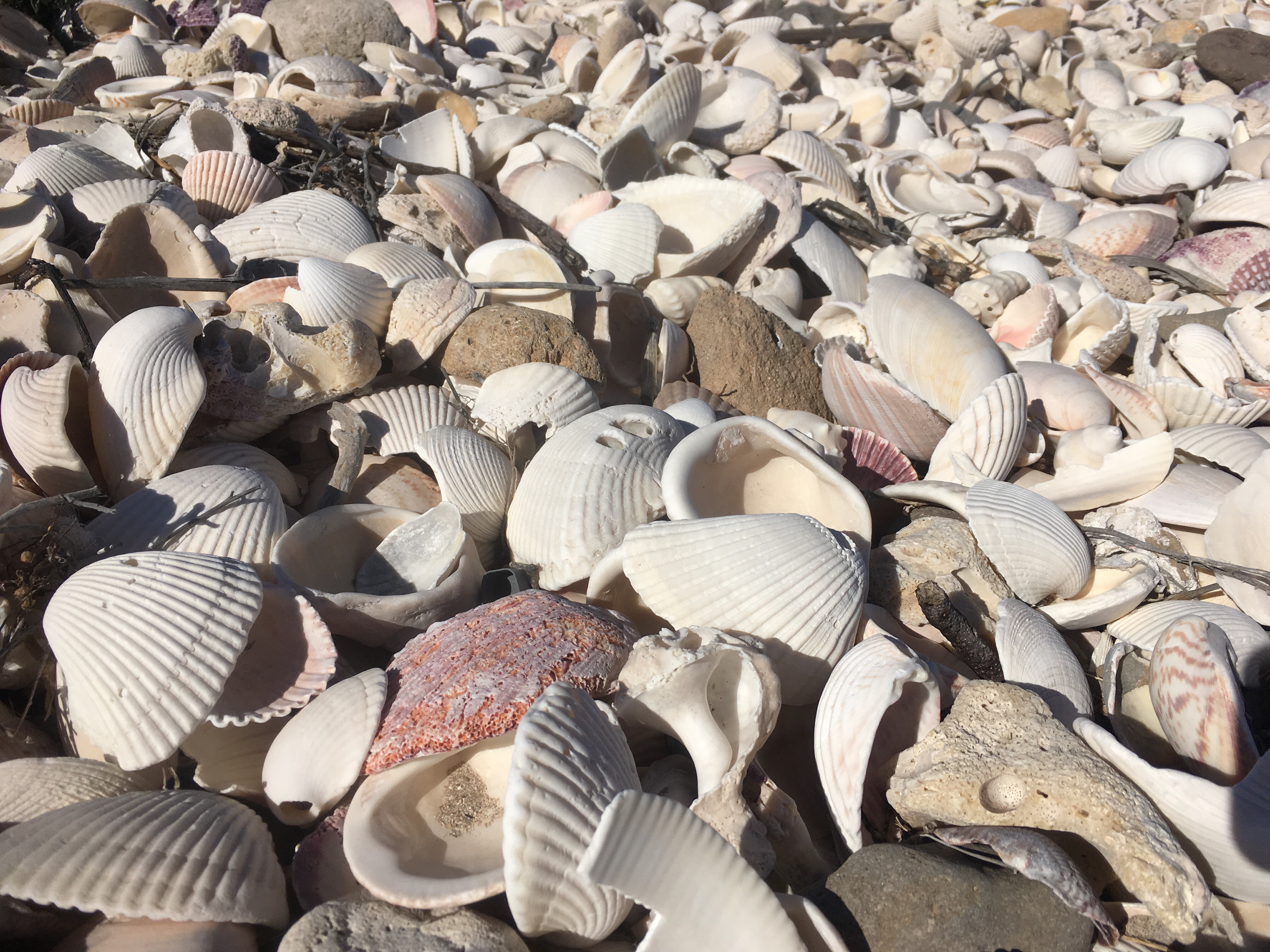
On shore, we all took a stroll down the main road toward and abandoned building we saw on the beach. We were intending to go explore “shell beach” (literally and beach completely covered in shells), but we got distracted by the vacant dilapidated building. We found out that it was once a hotel, but somehow lost ownership and has been destroyed by storms. The kids spent an hour just wandering around it, making up scary stories about it. FUN! I wish I took more pictures of it, and the ones that I did were lost when I tried to back them up to “the cloud”. So, I apologize for the lack of photos for this section.
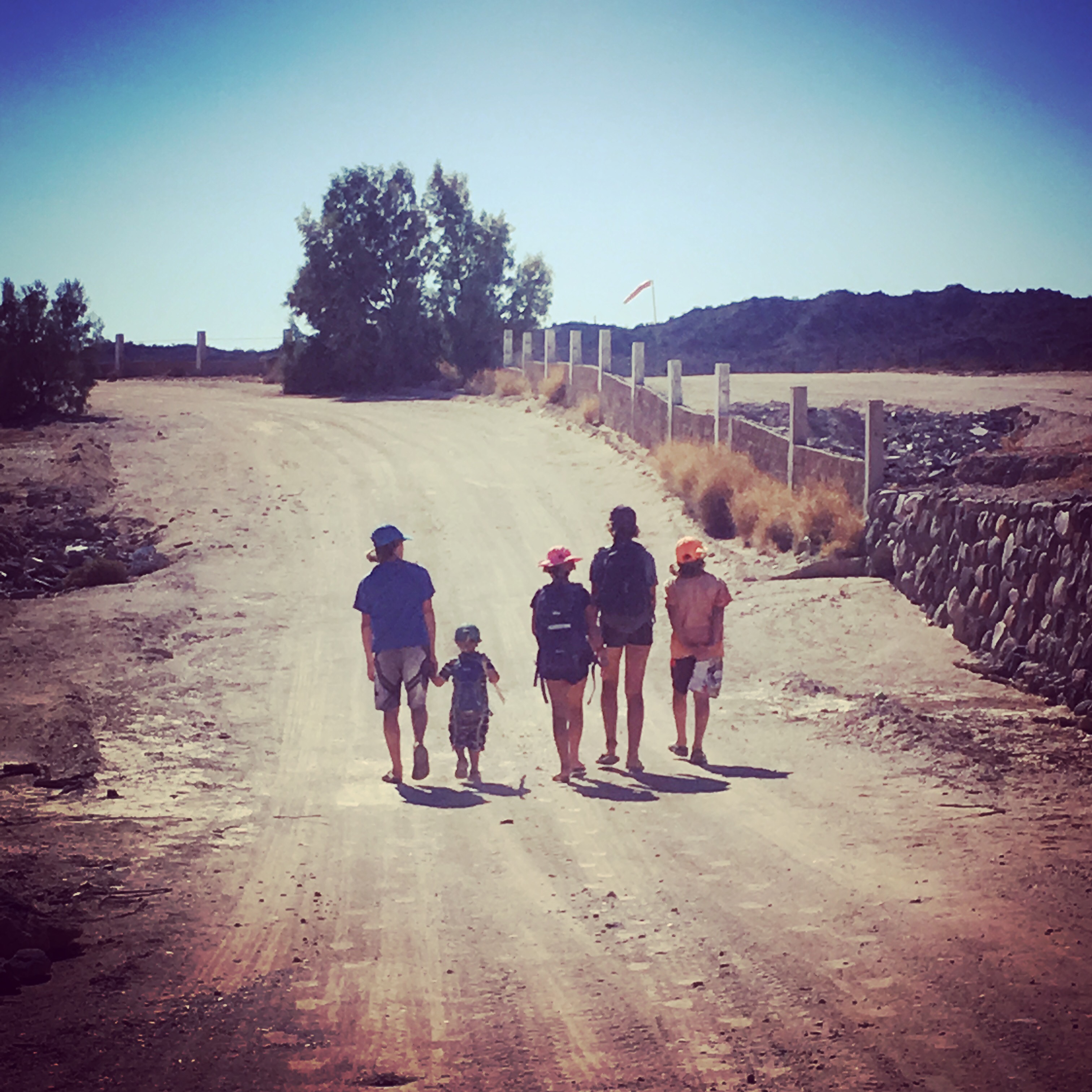
View from the building!

After exploring that area, we ran into a part-time resident that suggested a restaurant named Doña Julia’s. We weren’t expecting to eat out, but she told us that the price ends up being $2.50 a head. Not sure whether to believe her or not and if it was true, was that a good sign or not, but we thought we’d give it a go. It was a GREAT choice. Basically we ate in this families enclosed porch. Julia gave us two options for food, fresh fish of the day or enchiladas. We made our choices and she brought it all out, family style, along with refried beans and salad. We asked what the fish was and she said it was “strong fish” or “Toro”. Guessing that was not the Toro which is Tuna and some kind of Jack instead , which we normally don’t like, we were amazed at how well it tasted. And sure enough, it was $2.50 a person!

One more reason to LOVE Mexico!Plate full of enchiladas!

Next up: Isla San Marcos (one of our favorites! ) and Santa Rosalia. Stay tuned.

Advertisement

Loreto: an Eco Tourism Mecca

There is so much to see in Loreto ! Where to begin?!

Loreto is a small town with about 15,000 people, 2/3 rds the way down Baja on the Sea of Cortez (Gulf of California) side. As the starting point for the California Mission movement, the town offers a lot of rich history and sightseeing opportunities. In the last 15 years+, Loreto has become a mecca for its Eco-Tourism.  The Sea of Cortez and the desert of Baja can be described as a melting pot of marine life and a rich desert ecosystem.  There are flora and fauna here that can not be found in many other places. The eco-tourism offers ways to see these spectacular sights with minimal to no impact on their ecosystem. As a family living on a sailboat, we are able to have our own eco-tours on the ocean, but finding land based activities are more of a challenge.  Thanks to our friend, Sara, who helps operate Loreto Sea and Land Tours, we were able to explore a snippet of Loreto’s land based ecosystem and other tourist sites.

Loreto was the first Spanish Colonial settlement of “New Spain” on the Baja. The Jesuit missionaries built the first of the California Missions there, Mision de Nuestra Senora de Loreto Concho,  in 1697. Loreto offered a fresh spring as a perfect resource for the missionaries to build and provide food to offer for the local Cochimi tribe and offer Christianity in return. This was a peaceful movement at the time. In 1769, the quest to explore the northern areas and establish missions along the way started.  As time passed the territories of missions fell in control of the Franciscans and then later, the Dominican order and divided into two regions, Baja California and Alta California. Alta California became the California we know today in the United States. I could go on and on about Loreto’s history, but I wont. If you are feeling the need for more of Loreto’s history click here.

June 4th, 2017:

After exploring the town of Loreto, we ventured up into the mountains, named Sierra de la Giganta, to explore the desert and visit San Javier, the second of the California missions. On the way up we stopped to hike to a very old and lonely fig tree growing up a rocky hillside. Of course everybody had the urge to climb it!

Further up the road we pulled over to get a view of the original “El Camino Real”! We had no idea that the “El Camino Real” in California had originated in Loreto. We saw the first road that brought the missionaries from Loreto up to San Javier and eventually up through modern-day California as the path of the California Missions!

Mision San Francisco Javier de Vigge-Biaundo was founded just 2 years later, in 1699, but took many more years to build. It was fully functioning by 1758. Water was more abundant here than in Loreto and the location was better protected from hurricanes. It was for these reasons that San Javier became the primary mission. The Cochimi tribe was drawn to the church and Christianity for the food and kindness they provided. The mission was successful with its community and agriculture for many years. Unfortunately, European diseases from the Spaniards spread among the tribe, eventually leading to the decimation of the Cochimi. Their culture and language became extinct by the 20th Century.

If you find yourself in Loreto either by boat or land and wanting to see sea life, land life, and culture, we highly suggest using Loreto Land and Sea tours. Not just because they are friends of ours, because they offer a plethora of different ways to explore the area and ways for the sailing community to explore inland history and culture: scuba diving, snorkeling with seals, fishing, hikes and many more options for adventures. Finding someone who can share so much local knowledge is a prized opportunity for our family as well as for many other cruisers.  We get to check off History of California Missions from Ellamae’s  4th grade boat-school curriculum, one year in advance!
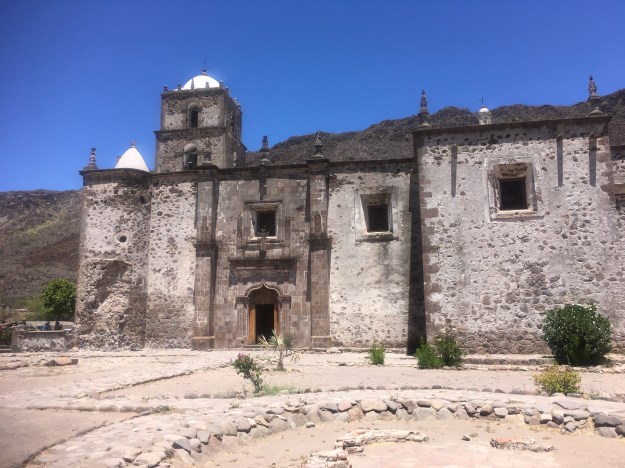
San Javier Mission (Mision San Francisco Javier de Vigge-Biaundo)
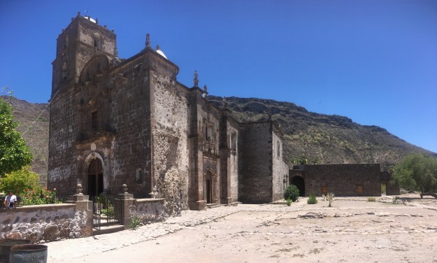
Mike, aboard S/V Easy joined us along the tour. Taj can’t resist the temptation to climb another tree.


Donation

Feeling tipsy? Give us tips and write us some tips (comments) too.

$10.00

Crossing the Sea of Cortez: from Mazatlan to La Paz 

We left Marina Mazatlan May 14th around 7:30 am, timed with the tides again. The swell was down, unlike coming in, the timing this time around was not as crucial. We had a minimum 2 day if not possibly 4-5 day crossing ahead of us, so an early departure was not necessary for the purpose of timing our arrival. Mike on SV Easy departed just before us to buddy boat across. We planned on communicating via predetermined SSB frequencies once our VHF was out or range.

The first day out was pretty mellow. We were forced by the wind to make a more north, northwesterly point of sail, which was fine. We motored for about an hour, just enough to get out past Isla Pajaro and catch a zephyr of wind. It was Mother’s Day, the sun shown brilliant, and dolphins came to swim off of our stern. Christian tried to join them in the water by tying himself off with a rope and filming with the goPro. We are pretty convinced that dolphins can hear our heartbeat, because as soon as he got in the water they swam away. When he just had the goPro in, they stuck around. Me with my Happy Mother’s Day smile after the dolphins visited.

The next day, was my birthday. I turned 36 and it was my first birthday celebrated out at sea. The day started out calm. I had planned to talk with my travel nurse recruiter via Satellite phone to try to pin down a travel job for the summer. We had already been conversing but nothing was final. I knew I needed to get something pinned down, but we were ready to set sail, so IridiumGo to the rescue! I had my nursing recruiter call me via satellite phone to secure a job while in the middle of the Sea of Cortez. I was shocked at how well the reception was. The call was dropped a few times, but we were able to get what needed to be done done and secured a job at Kaiser San Francisco for me in the summer! That was a pretty good birthday gift. This is where we were mid day on my birthday.

The kids loving Birthday cake in the middle of the crossing.

Later on that afternoon, the wind picked up to the mid 20’s and by evening was in the high 20’s with gusts of low 30’s on a close reach (upwind). We were double reefed with our Mainsail and furled in jib to about 90% for most of the night and the next day. Despite that our boat was handeling it well, and the hydrovane kept us steering perfectly, I got a little sea sick. The kids did too, but thankfully, no one reached the point of vomiting. They still were able to eat my birthday cake. Although I was able to maintain good spirits I was rendered almost completely useless. I can’t go down below to cook at all, let alone help the kids with anything. Tacking, trimming sails, steering is fine though and is actually helpful, so I don’t mind being “on watch” when I get sea sick. By nightfall I was feeling fine as long as I stayed focused and outside. I did end up taking a Bonine to help me keep from throwing up and fall asleep during my limited time off watch.     Love this “tilt boat’n” action! Water spilling over the rail, SV Shawnigan holding strong and steady.

The kids just relaxed or slept in off under the comfort of our dodger or they clipped their harnesses on and went outside for fresh air. No boatschooling was happening this crossing. So far no one on our boat has gotten so sea sick to the point of throwing up since we left in August 2015. I’ll take it as a sign that we’re getting the hang of it. All clipped in on the aft deck, singing songs into the wind to pass the time. Ellamae lounging in the dodger.

By the end of the third day the wind had us going north again, north of Muertos off of Isla Ceralvo. We tacked up before being able to tack back towards La Paz. We made it up until the channel below Isla Espiritu Santo before turning on the engine for that last hour. We made to Anchorage just north of La Paz, called Caleta Lobos, just after dark. Fortunately we’ve anchored here many times before, so coming in at dark was not ideal, but ok. The anchorage was flat and we slept so well!

More pictures:

 Taj fell asleep, clipped in to the back stay! Then again in the dodger…Nina perched up in a hammock on our first day out, while it was calm.

Mike on SV Easy at Caleta Lobos (just north of La Paz).
Stay tuned for our adventures in La Paz and up the Sea of Cortez via the east coast of Baja.